
International Programs
International Programs
The USGS Office of International Programs helps facilitate and coordinate USGS science with diverse partners, including other federal agencies, international institutions, and foreign governments. USGS international activities support U.S. foreign policy and science diplomacy, and improve characterization and management of ecosystems and natural resources worldwide.
Science for a Changing World

Because geology, environmental hazards, natural resources, and effects of climate change ignore ethnic and geopolitical boundaries, USGS offers science to inform decision makers and the public, and to foster collaboration and trust in addressing issues of interest to all.
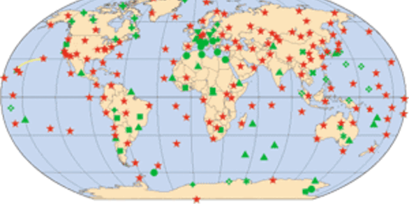
The U.S. Geological Survey Office of International Programs is dedicated to high quality, timely, scientific study that is international in scope and that focuses on the USGS Science Strategy's goals. USGS/OIP helps facilitate and coordinate USGS science with diverse partners, whether they be U.S. Federal agencies or foreign governments, concerned about the natural hazards that threaten lives and livelihoods; the water, energy, minerals, and other natural resources we rely on; the integrity of ecosystems and environment; and the impacts of climate and land-use change. For more about the benefits provided by USGS/OIP, read how USGS accomplishes the international mission.

Over the coming decades, profound environmental and societal trends will challenge governments, administrators, and societies with increasingly complex policy decisions. Preparing for these changes will require reliable data and information that are inherently global in nature and need international collaboration in order to make scientific progress. To address these needs, USGS/OIP has historically engaged in countries and regions where the geopolitical landscape is challenging, bringing capacities such as Earth system modeling, operational forecasts, emerging technologies, advanced observing and sensing systems, and state-of-the-art information-management systems to provide proactive and on-demand integrated, dynamic, and responsive information.
Información en español
Si desea saber más acerca de las capacidades científicas y técnicas del Servicio Geológico de los Estados Unidos de América y los contactos correspondientes dentro de la Oficina de Programas Internacionales, apriete aquí.
News
Alma Anides-Morales of the Western Geographic Science Center (WGSC), USGS won the Student Poster Award at the University of Arizona’s Water Resources Research Center (WRRC) for Implementing Water Solutions Through Partnerships.
USGS and Australia to continue partnership in Landsat Next satellite mission
USGS signs MOU with Dominican Republic Geological Survey
Publications
Overview of the Cenozoic geology of the northern Harrat Rahat volcanic field, Kingdom of Saudi Arabia
The Harrat Rahat volcanic field, located in the west-central part of the Kingdom of Saudi Arabia, is one of the larger Cenozoic harrats among the more than 17 harrats situated upon the Arabia Plate. The map plate contained herein shows, at a scale of 1:100,000, the mapped volcanic geology of northern Harrat Rahat, which consists of the northernmost one-fifth of Harrat Rahat. Northern Harrat Rahat
Probabilistic seismic-hazard analysis for the western Kingdom of Saudi Arabia
We present a probabilistic seismic-hazard analysis (PSHA) for the west-central part of the Arabian Peninsula. Our study area includes the northern Harrat Rahat volcanic field and the nearby city of Al Madīnah, Kingdom of Saudi Arabia. This young, active volcanic field experienced one historical eruption in 1256 C.E. (654 in the year of the Hijra) that vented 20 to 22 kilometers (km) southeast of t


